Program Overview: A specialized geospatial intelligence track designed to combine mapping science with modern Unmanned Aerial Vehicle (UAV) data acquisition techniques.


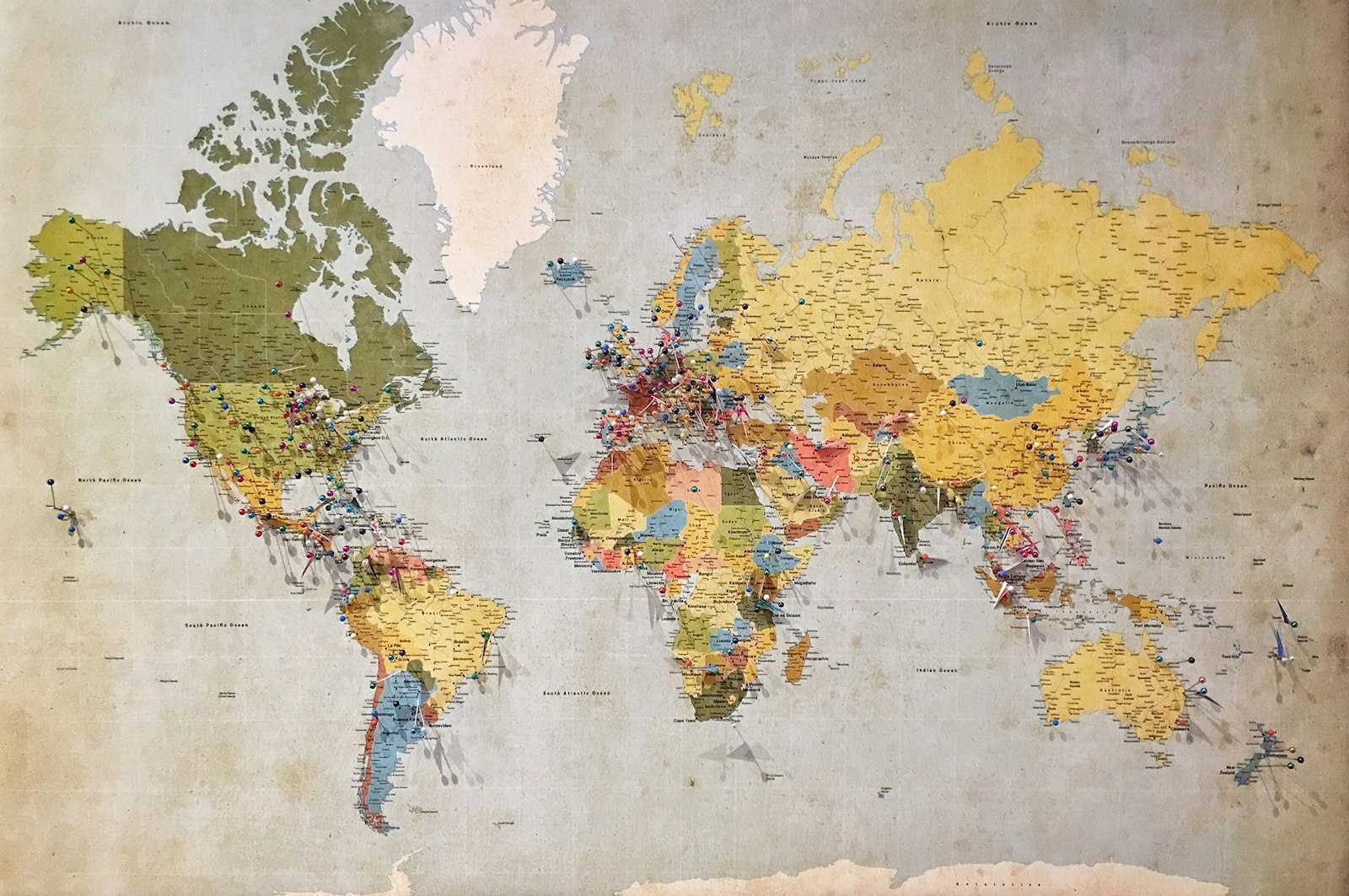


Spatial data models, coordinate systems, map projections, vector/raster data analysis, and remote sensing data integration.
Structuring relational databases for geographic information, handling spatial attributes, and executing advanced location intelligence queries.
Aerial surveying techniques, flight planning software, drone payload configurations, sensor management, and strict airspace/aviation regulatory compliance guidelines.
Transforming raw aerial drone photography into orthomosaics, 3D digital elevation models (DEMs), and topographic contours.
Conducted over a 15-month timeline featuring a dedicated capstone project, providing 50 instructional hours.
Submit your details below to receive the detailed brochure and speak with an academic advisor.